Evaluation Coastal Volume Changes with UAV Photogrammetry: An Example in West Coast Malaysia
DOI:
https://doi.org/10.37934/araset.33.2.6775Keywords:
Coastal, volume change, photogrammetry, UAV, erosionAbstract
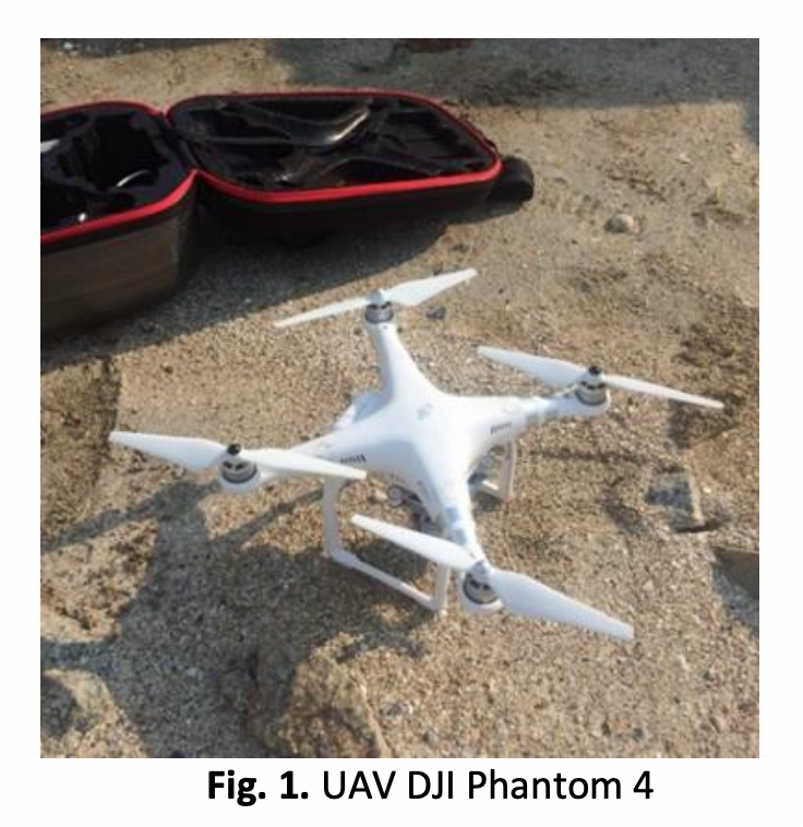
Variations of beach volume changes have been put into place at the coastline to measure the changes in volume and analyse beach response using geometric and volumetric comparison of beach profile sets. This study examined the volume change of a beach in an eroded location in Batu Pahat. As Pantai Punggur was identified as an eroding area, it was chosen as the research area where identifying changes to the beach's volume is necessary to evaluate changes to the condition of the beach. There is a rather strong demand for both technologies and research methods since technology tends to advance quickly. Therefore, in order to satisfy demand, the process of identifying the volumetric of the shoreline area was carried out using an unmanned aerial vehicle with the assistance of Pix4D Mapper and Global Mapper as a medium to study the changes in beach volume. Pix4D Mapper was used to process the beach volume changes and to analyze the aerial image, while the Global Mapper software conducted an analysis of beach volume changes. This study demonstrates that there is a noticeable shift in the volume of the beach within a month. Overall, the data provided demonstrates that Zones A and E are more vulnerable to erosion than the other zones.
Downloads
