The Verification of Sea Level Anomaly (SLA) Versus Tide Gauge for Geoid Modelling

Authors

  • Nornajihah Mohammad Yazid Geospatial Imaging and Information Research Group (GI2RG), Faculty of Built Environment and Surveying, Universiti Teknologi Malaysia, 81310 Johor Bahru, Johor, MALAYSIA
  • Ami Hassan Md Din Geospatial Imaging and Information Research Group (GI2RG), Faculty of Built Environment and Surveying, Universiti Teknologi Malaysia, 81310 Johor Bahru, Johor, Malaysia
  • Muhammad Faiz Pa’suya Environment and Climate Change Research Group, Faculty of Architecture, Planning and Surveying, Universiti Teknologi MARA, Perlis Branch, Arau Campus, 02600 Arau Perlis, Malaysia
  • Nazirah Mohamad Abdullah Faculty of Applied Sciences and Techniology, Universiti Tun Hussein Onn Malaysia, Pagoh Higher Education Hub, 84600, Pagoh, Johor , Malaysia
  • Masiri Kaamin Neo Environmental Technology, Centre for Diploma Studies, Universiti Tun Hussein Onn Malaysia, Pagoh Higher Education Hub, 84600 Pagoh, Johor, Malaysia
  • Muhammad Azraie Abdul Kadir Neo Environmental Technology, Centre for Diploma Studies, Universiti Tun Hussein Onn Malaysia, Pagoh Higher Education Hub, 84600 Pagoh, Johor, Malaysia

DOI:

https://doi.org/10.37934/araset.42.2.89103

Keywords:

Sea Level Anomaly, geoid, gravity anomaly, altimetry

Abstract

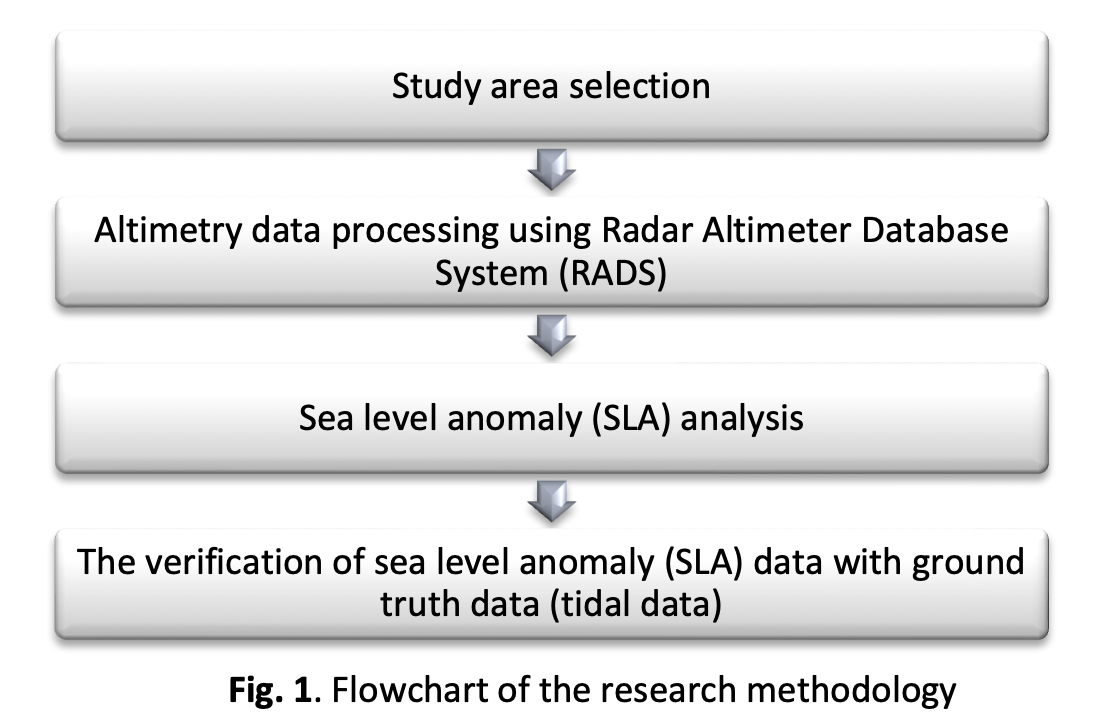
The increasing long-term sea level rise is of particular interest and needs a significant investment in coastal protection procedures. The coastal sea level has been verified with tide gauges and well maintained with reliable accuracy of data since a few centuries ago. Satellite altimeter has been used for sea level study and increasingly for operational purposes. However, the precision of altimetry data in coastal areas is frequently eliminated by the geographically correlated orbit errors, which induce a regional inhomogeneous mission bias. This study presents an effort to verify sea level anomaly based on altimetry data with tide gauge stations as an early procedure to provide a good sea level anomaly data for mean sea surface, gravity anomaly, and geoid determination over Malaysian seas. The altimetry data is validated by comparing the sea level anomaly with ground truth data (tidal data) near the coastal area. A total of nine selected areas were chosen to represent the ground truth data. The findings found that the altimetry data over the South China Sea (Pulau Tioman, Geting, Cendering, Bintulu, and Kota Kinabalu) provided a good pattern, high correlation, and a minimum root mean square error (RMSE) value after the verification with tidal sea level anomaly data. However, it clearly shows that Tawau station over the Celebes Sea provides a poor pattern, poor correlation, and a high RMSE value with tidal sea level anomaly data. In conclusion, further enhancements are expected from the refined processing and filtering of altimetry data for the sea level study in the coastal zone.

Author Biographies

Nornajihah Mohammad Yazid, Geospatial Imaging and Information Research Group (GI2RG), Faculty of Built Environment and Surveying, Universiti Teknologi Malaysia, 81310 Johor Bahru, Johor, MALAYSIA

nornajihah@uthm.edu.my

Ami Hassan Md Din, Geospatial Imaging and Information Research Group (GI2RG), Faculty of Built Environment and Surveying, Universiti Teknologi Malaysia, 81310 Johor Bahru, Johor, Malaysia

amihassan@utm.my

Muhammad Faiz Pa’suya, Environment and Climate Change Research Group, Faculty of Architecture, Planning and Surveying, Universiti Teknologi MARA, Perlis Branch, Arau Campus, 02600 Arau Perlis, Malaysia

faiz524@uitm.edu.my

Nazirah Mohamad Abdullah, Faculty of Applied Sciences and Techniology, Universiti Tun Hussein Onn Malaysia, Pagoh Higher Education Hub, 84600, Pagoh, Johor , Malaysia

nazirah@uthm.edu.my

Masiri Kaamin, Neo Environmental Technology, Centre for Diploma Studies, Universiti Tun Hussein Onn Malaysia, Pagoh Higher Education Hub, 84600 Pagoh, Johor, Malaysia

masiri@uthm.edu.my

Muhammad Azraie Abdul Kadir, Neo Environmental Technology, Centre for Diploma Studies, Universiti Tun Hussein Onn Malaysia, Pagoh Higher Education Hub, 84600 Pagoh, Johor, Malaysia

mazraie@uthm.edu.my

Downloads

Published

2024-04-03

How to Cite

Nornajihah Mohammad Yazid, Ami Hassan Md Din, Muhammad Faiz Pa’suya, Nazirah Mohamad Abdullah, Masiri Kaamin, & Muhammad Azraie Abdul Kadir. (2024). The Verification of Sea Level Anomaly (SLA) Versus Tide Gauge for Geoid Modelling. Journal of Advanced Research in Applied Sciences and Engineering Technology, 42(2), 89–103. https://doi.org/10.37934/araset.42.2.89103

Issue

Section

Articles

Most read articles by the same author(s)